PHYSICAL INFORMATION
- Location & Area: Situated in Cebu City’s South District (2nd District), Barangay Calamba has an area of approximately 0.4613 km².
- Coordinates & Elevation: Positioned at about 10.3028° N, 123.8851° E, it rests roughly 18.5 meters (60.7 ft) above sea level.
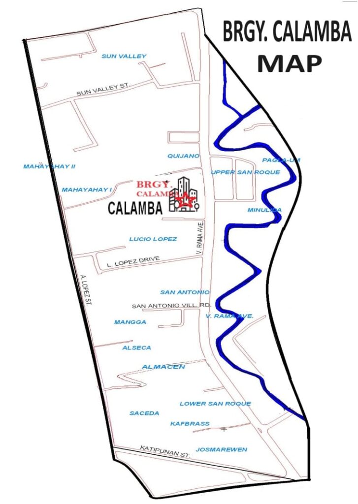
- Adjacent Barangays: It borders Duljo, Pahina Central, Sambag I & II, Capitol Site, Guadalupe, San Nicolas Central, and Labangon.
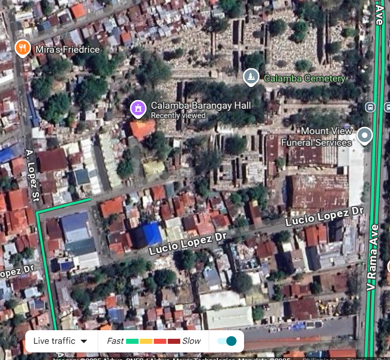
- Key Infrastructure: Katipunan Street starts within Calamba, linking major avenues like N. Bacalso and V. Rama, and extends toward Barangay Tisa

Total Land Area

DEMOGRAPHIC INFORMATION


